
Turn Photo & Video into fact you can trust
RightCam is a visual documentation and management tool that uses verifiable media to prove exactly what happens on the ground.
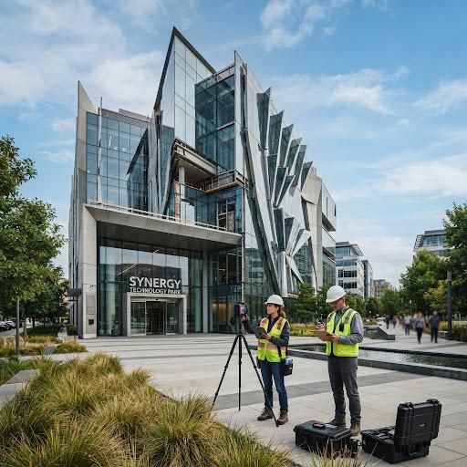
Core Capabilities
Capture Verified Proof
Every photo and video automatically locks in precise time, location, and context data the moment you hit record.
Search Instantly
Filter your library of photos, videos, and documents by date, location, project, or team member.
Manage Work Live
Monitor daily production and review project updates in real time with high fidelity telemetry.
Sync to the Cloud
Sign in to automatically back up your files and keep your data accessible across all devices.
Streamline Approvals
Keep projects on schedule by tracking task progress and getting quick sign-offs from decision-makers.
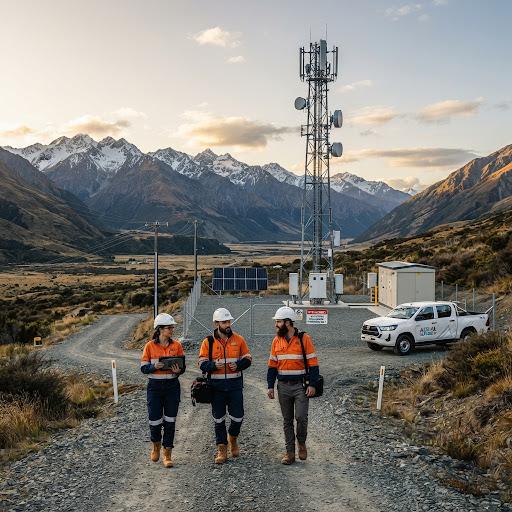
Comprehensive Site Audits
Capture the complete picture of your infrastructure projects. Seamlessly integrate visual data with environmental sensors, ensuring every structural anomaly is documented with pinpoint accuracy and immediate context for off-site engineering teams.
- Automated Defect Recognition
- Drone & Ground Sync
- Interactive 3D Mapping & Scans
Operational Versatility & Field Benefits
RightCam adapts to the most demanding field environments, providing verifiable proof and streamlined workflows across industries.

Construction Industry
Capture progress photos and send directly to supervisors for immediate review, ensuring structural integrity and compliance.
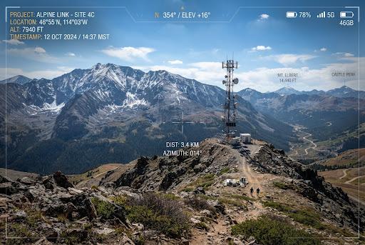
Telecommunications
Document critical hardware installs on remote ridge sectors with precise telemetry data for rapid off-site verification.
Project Management
Centralize field data to monitor task velocity and maintain total project oversight from any device.
Team Collaboration
Enable seamless communication between field crews and back-office teams, accelerating approval cycles and reducing downtime.
Site Services
Perfect for diverse site work including environmental cleaning and facility maintenance, providing verifiable proof of service.
Pricing Plans
Select the tier that aligns with your operational requirements.
Personal
Essential tools for independent field engineers.
- Single user license
- Standard telemetry data
- 5GB Cloud Storage
Team
Advanced collaboration and sync for engineering crews.
- Up to 10 team members
- Advanced AI object tracking
- Real-time OneDrive sync integration
- Priority technical support
Technical FAQ
Architectural questions regarding security, telemetry, and edge capabilities.
How is data security handled?
All telemetry, images, and metadata are encrypted on-device using AES-256 before transmission. Our hardware enclave ensures keys never leave the physical device.
Does it work offline?
Yes. RightCam is designed for remote environments. It fully caches all captures, AI processing results, and telemetry locally, syncing automatically when a connection is restored.
Which cloud platforms are supported?
We natively support direct integration with Microsoft OneDrive, Google Drive, AWS S3 buckets, and custom enterprise SFTP servers via our API.
Can we train custom AI models?
Team and Enterprise tiers include access to our Model Builder, allowing you to train the edge NPU to recognize highly specific equipment or defects unique to your industry.